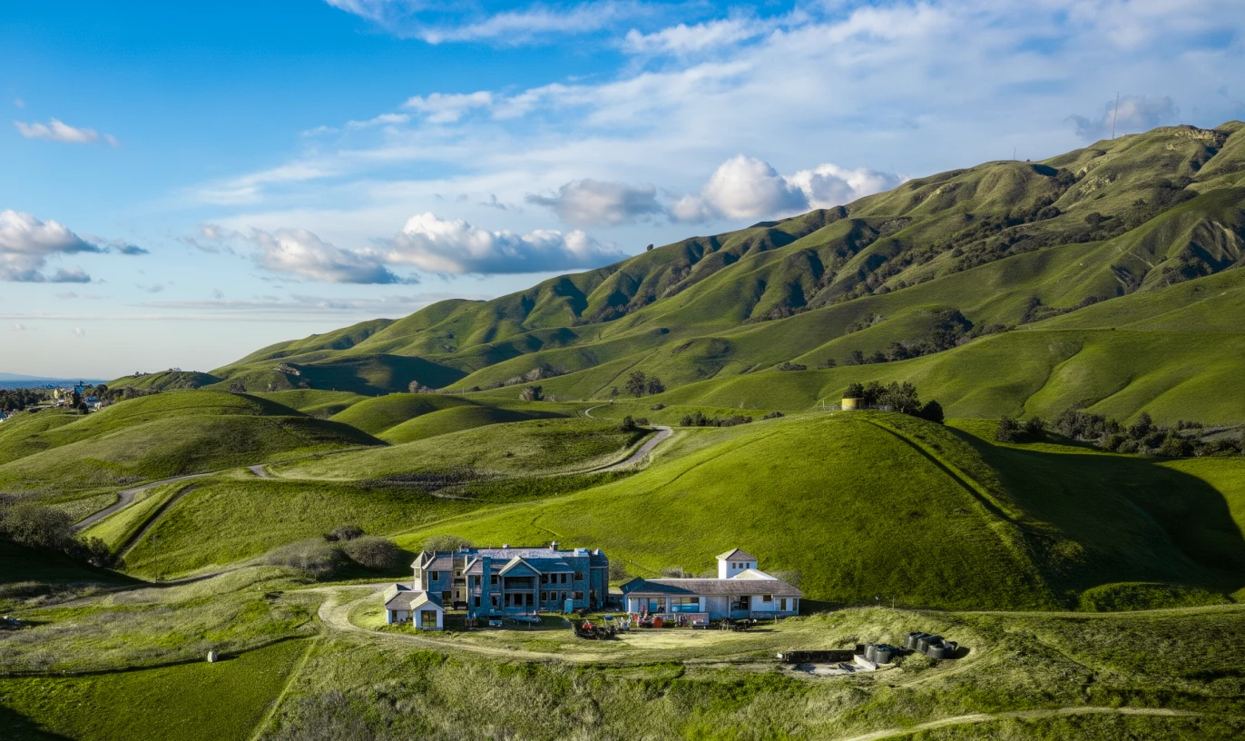
A deeper understanding of terrain before the site visit
Provides a clearer, more complete view of the property than standard satellite imagery, drone photography, or ground-level photos alone.
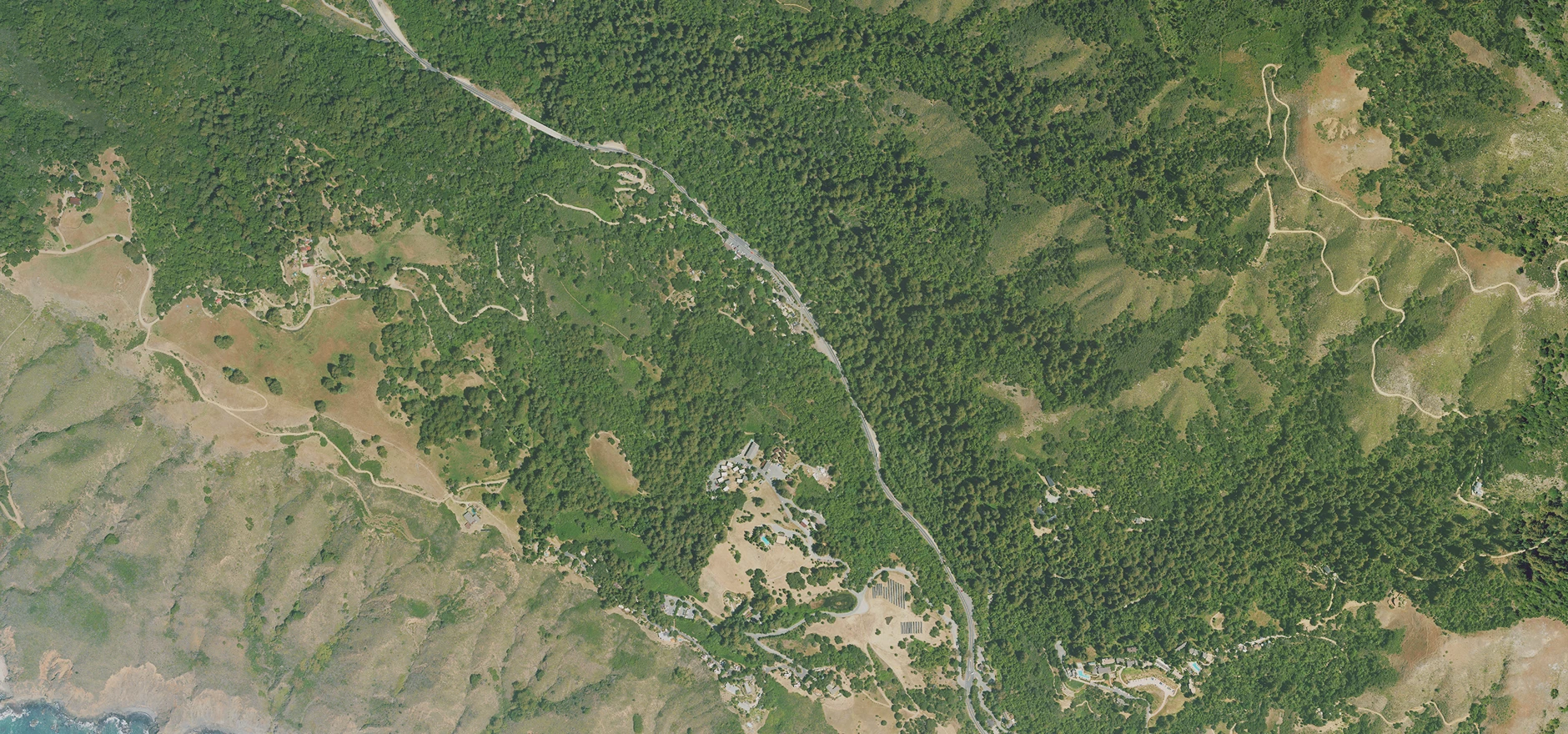
with terrain, access, scale, vegetation, structures, and surrounding context presented in a clear, easy-to-understand land image way.
Provides a clearer, more complete view of the property than standard satellite imagery, drone photography, or ground-level photos alone.
Used for listing hero images, broker PDFs, offering memorandums, investor decks, and remote buyer evaluation. Not just images.
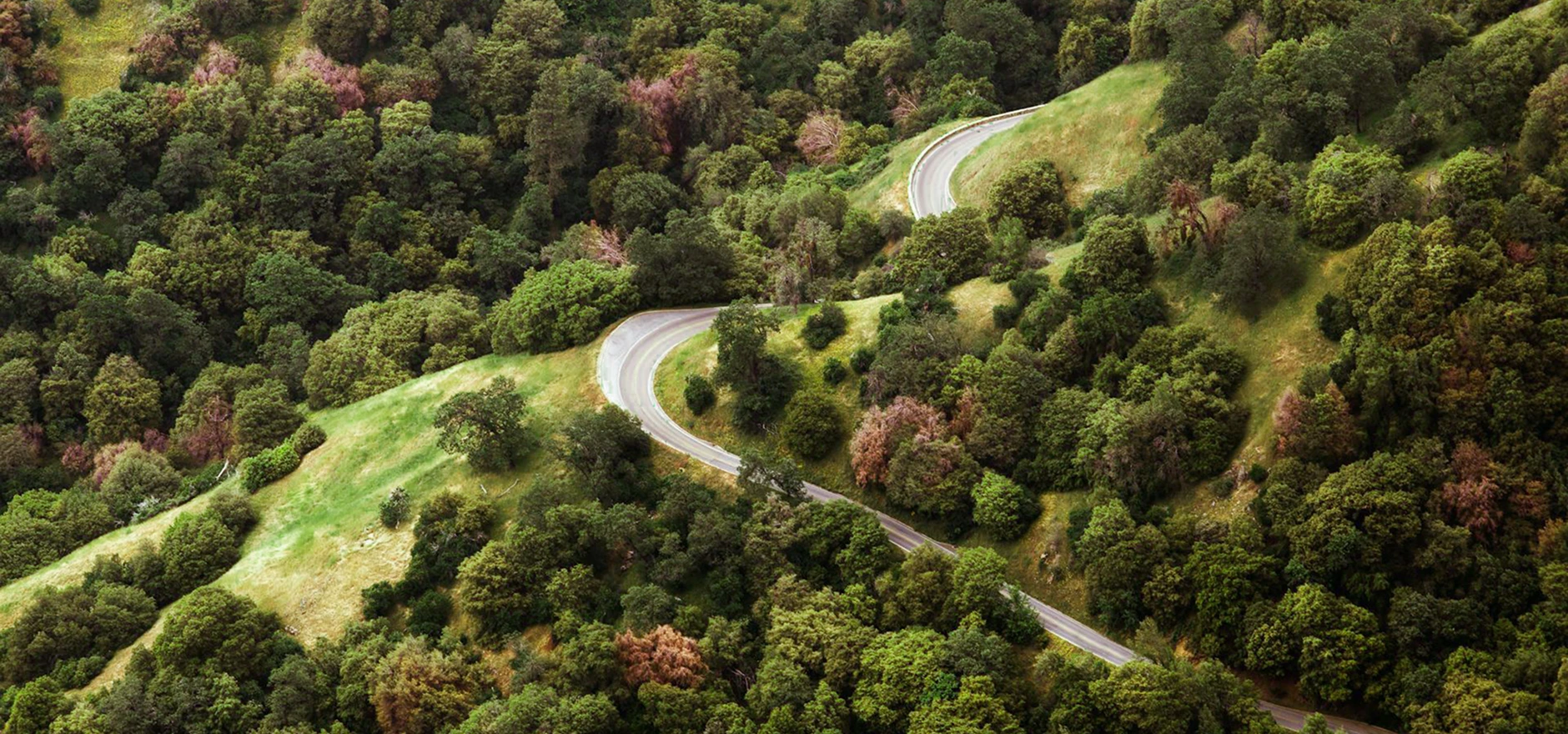
Created from terrain data, aerial imagery, parcel context, and manual visual refinement.
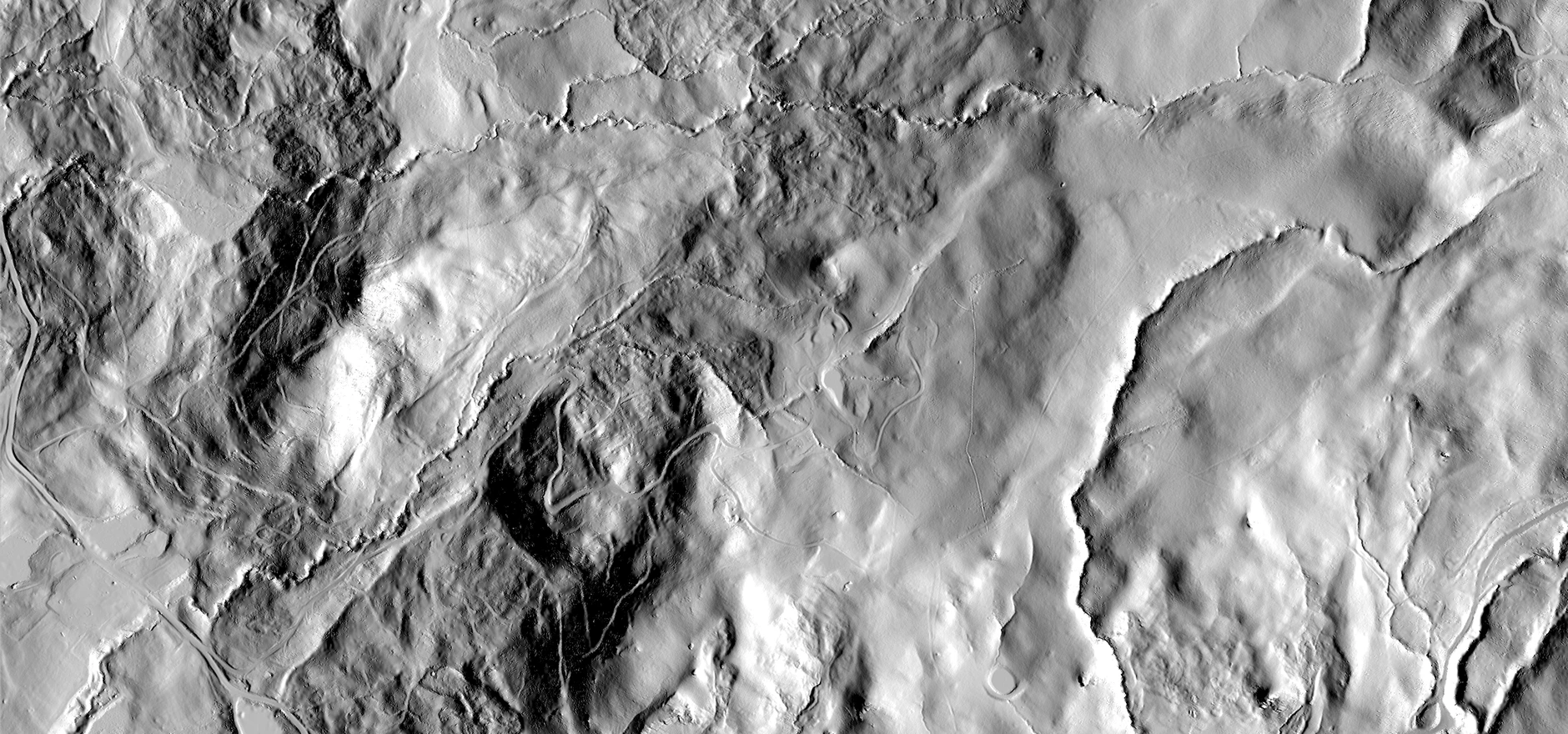
An advanced property orthophoto shows terrain, access, scale, and context in one controlled image before buyers rely on scattered photos, maps, or a site visit.