terraxis.io

Geospatial visualization studio

Help buyers understand the land before they arrive.

Terraxis creates advanced property orthophotos and terrain-based visuals for high-value land, remote listings, and investor presentations.

ranch Terraxis visualization
ranch/coastal region
/

A sales asset, not a decorative image

A sales asset, not a decorative image

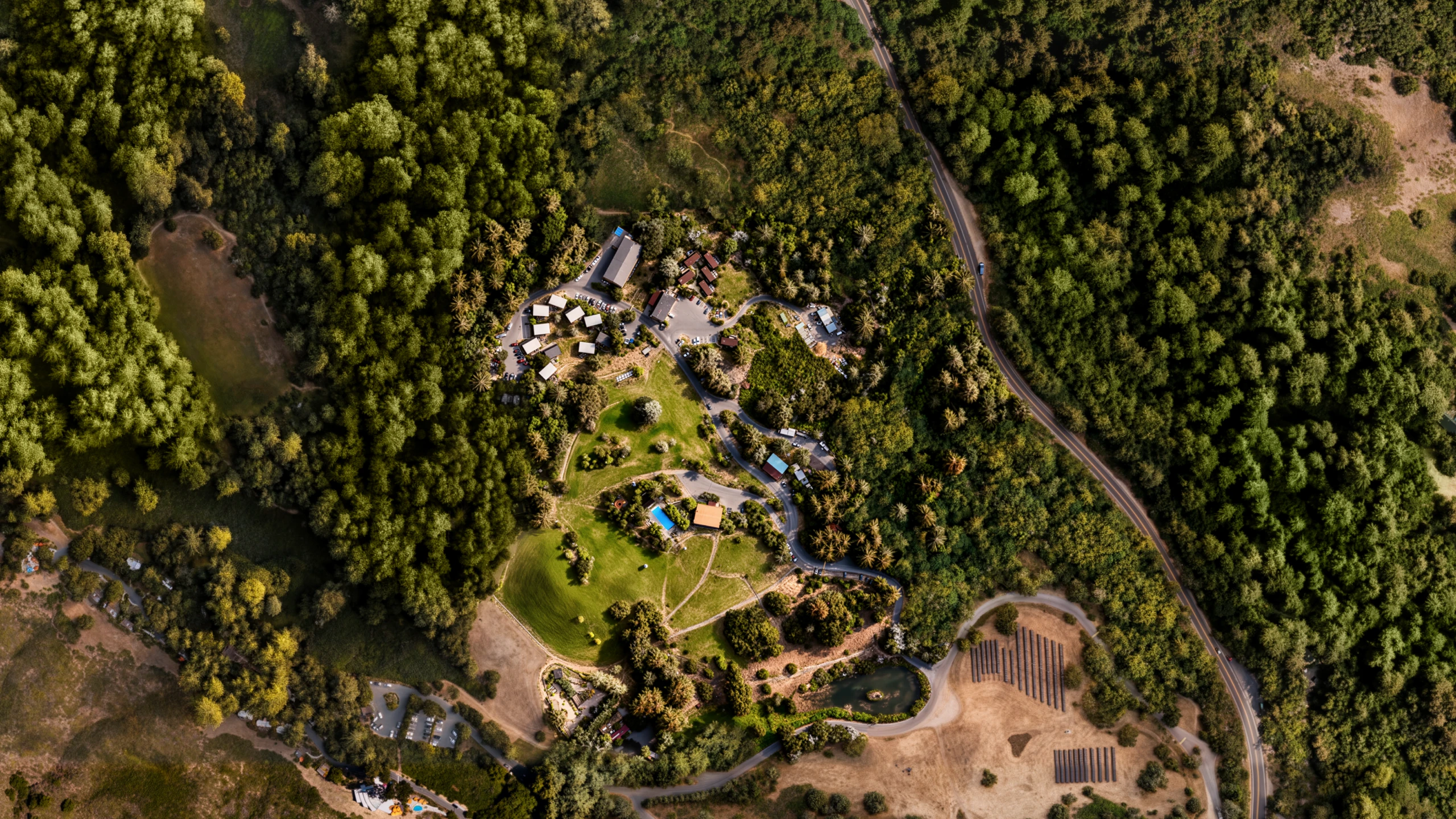
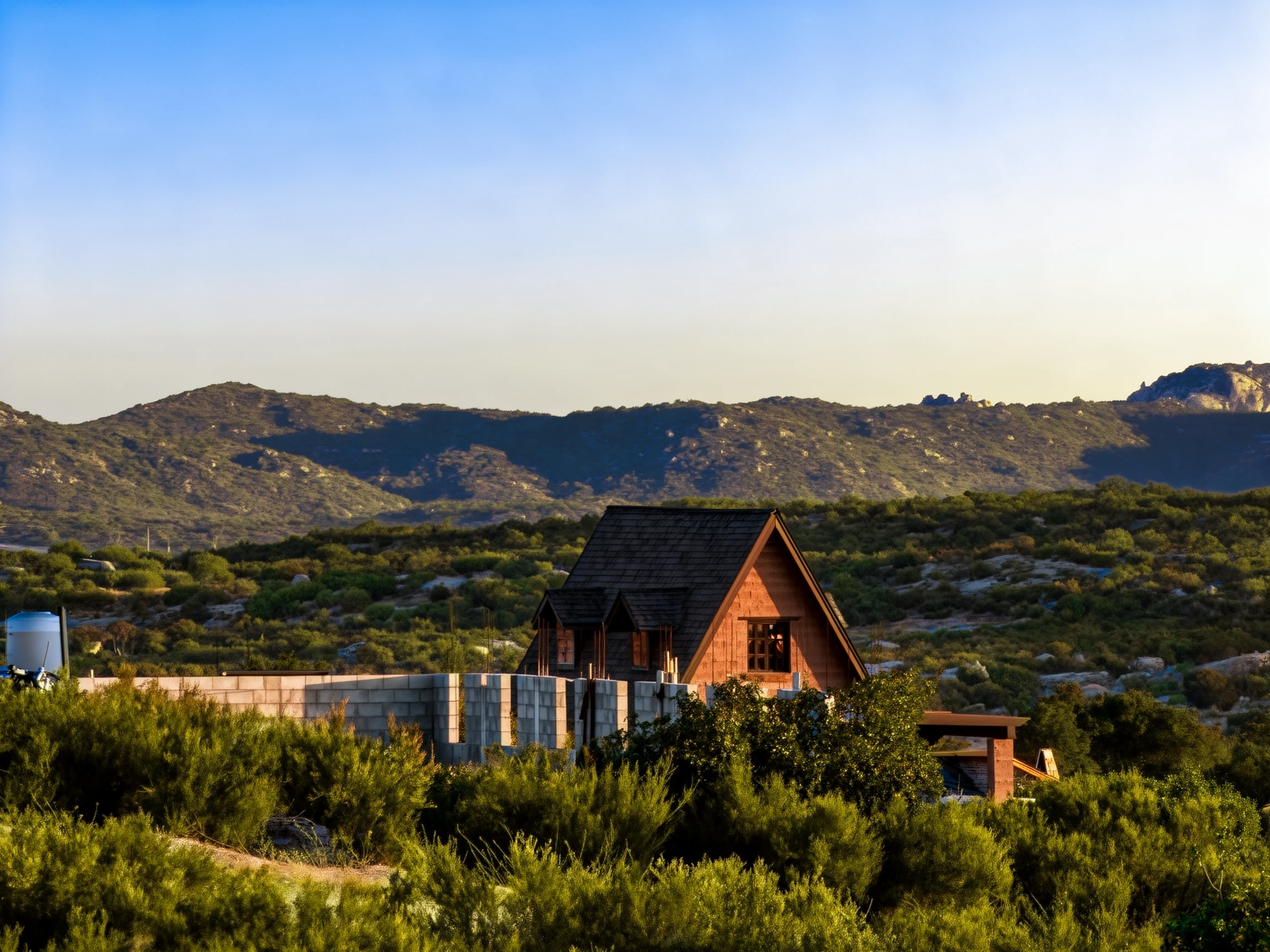
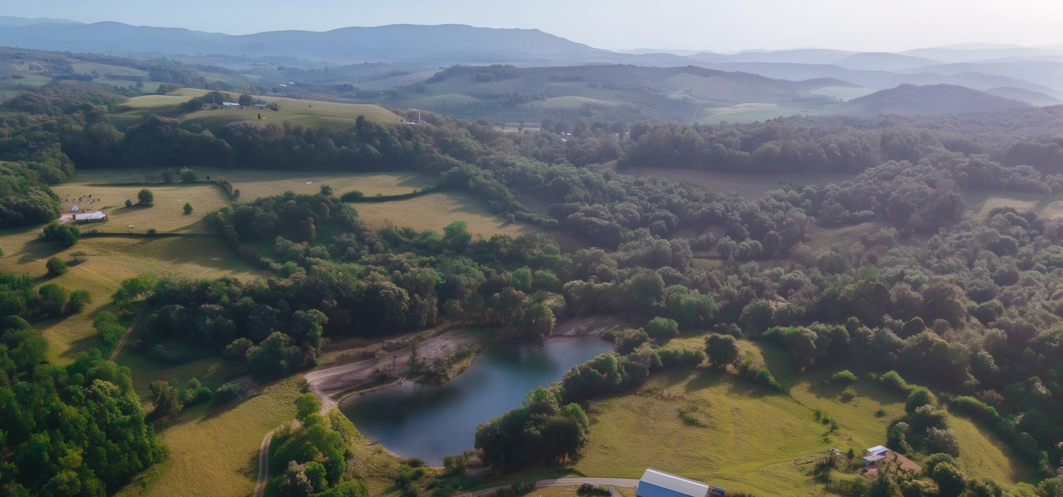
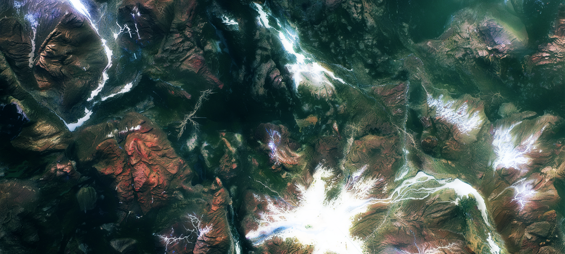
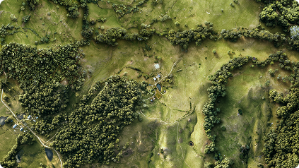
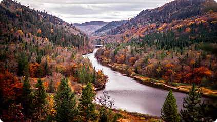
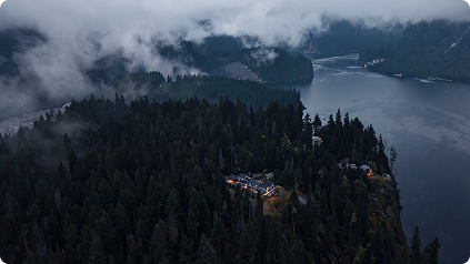
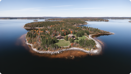
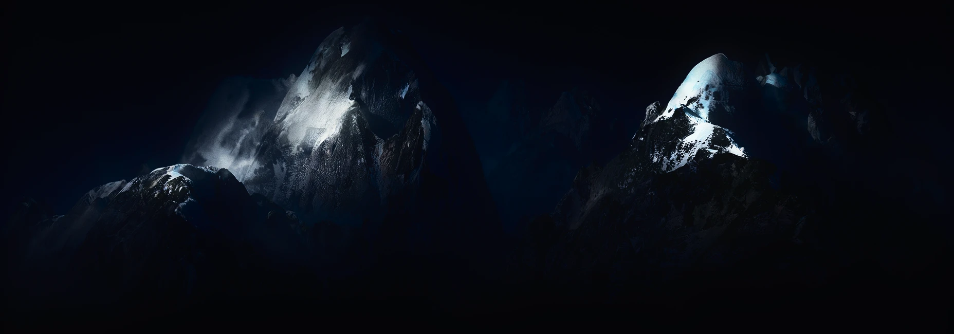
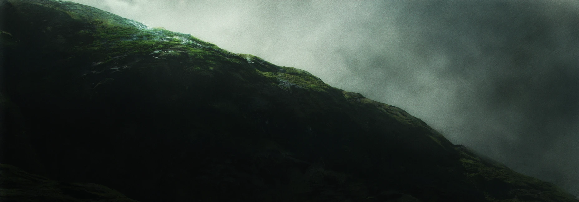
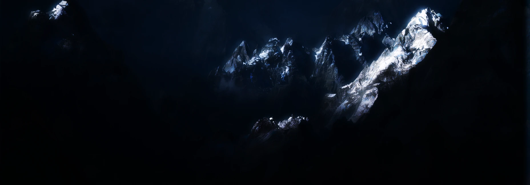
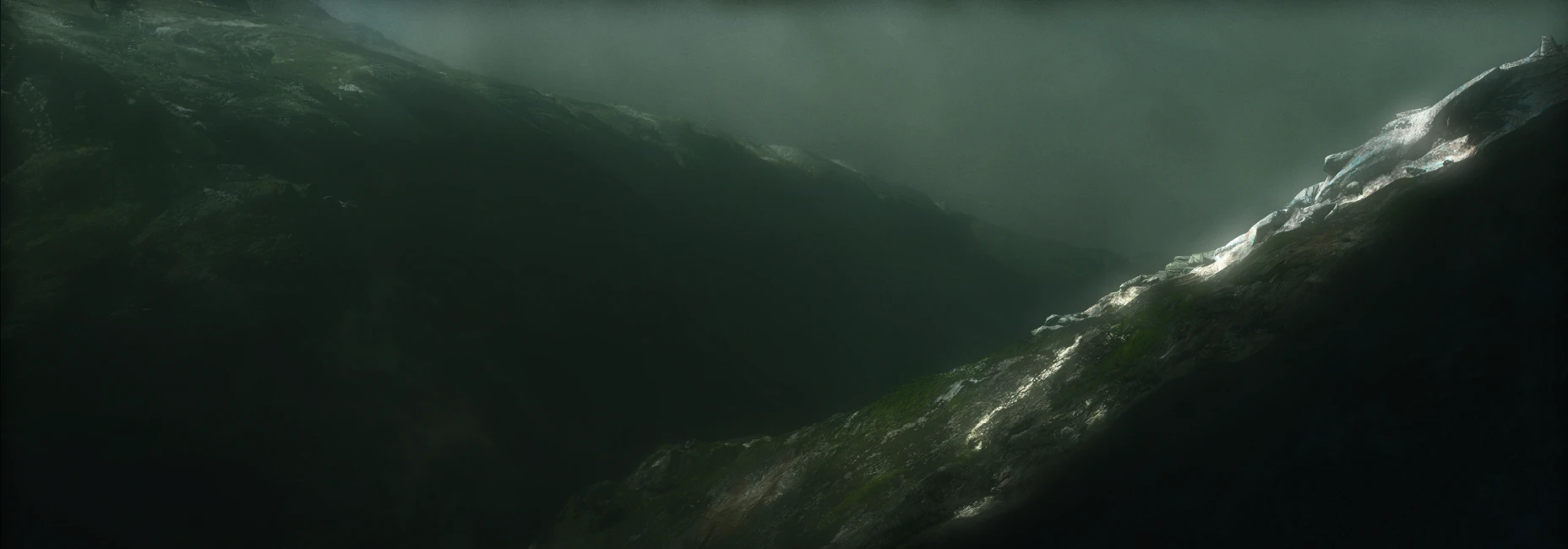
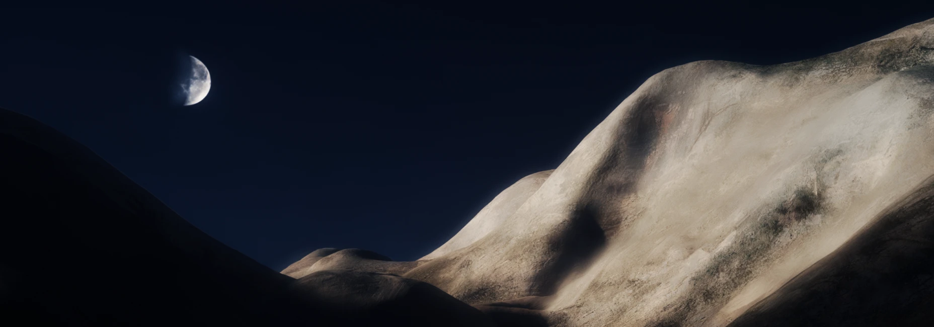
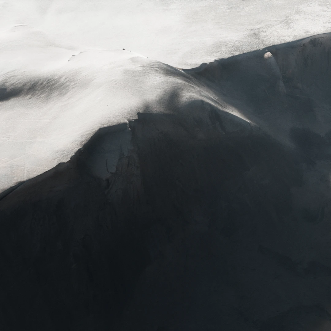
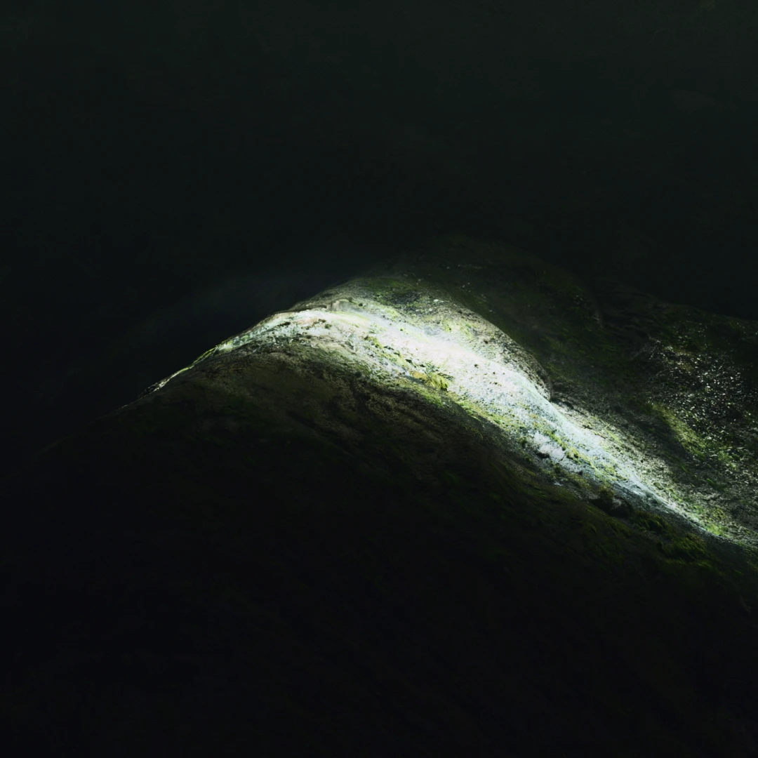
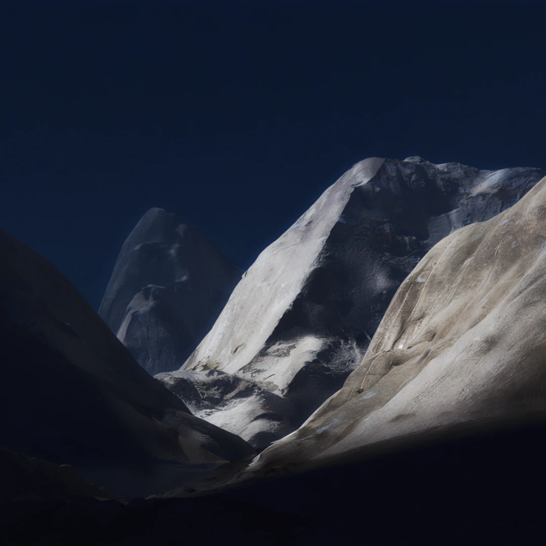
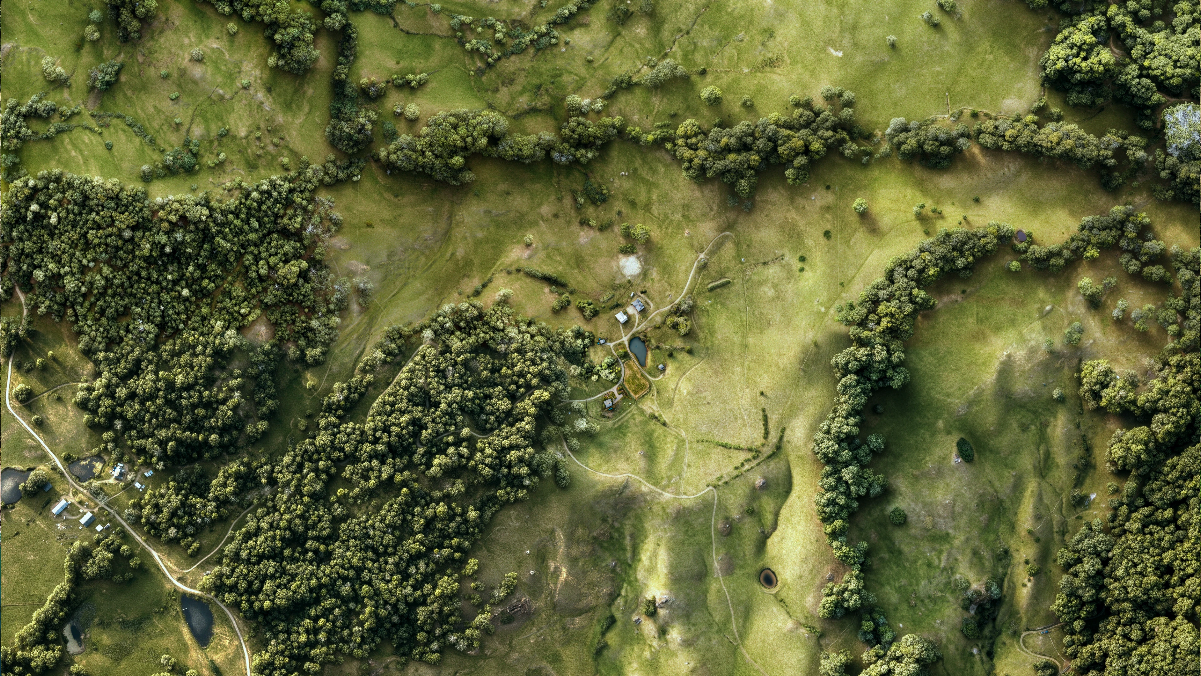
A multi-layer production pipeline

Terraxis visuals are built from layered property sources: terrain structure, source imagery, visual references, and manual refinement. AI-assisted steps are directed inside a controlled workflow, not used as a one-click filter.

Advanced tools, disciplined output

Every image is refined for the way land is actually evaluated: terrain, scale, access, setting, visual character, and presentation use. The goal is not maximum detail alone, but a credible image that helps buyers understand the property faster.

from: terraxis

only to: private client

Confidential by default

Project materials, property references, and source imagery are handled privately and are not reused, published, or shared without permission.

Built for existing sales materials

  • zillow
  • MLS
  • LoopNet
  • Offering memorandums
  • Private buyer outreach
zillowMLSLoopNet
Offering memorandumsPrivate buyer outreach

Terraxis visuals can be prepared for listing pages, broker decks, investor presentations, property PDFs, and existing promotional materials.

Property visualization for land that needs more than photography

Better property imagery does not replace the site visit. It makes more buyers qualified enough to want one

Frequently asked questions

Terraxis visuals act as a high-quality sales asset for land and complex property. They are built to help serious buyers understand what ordinary listing media often fails to explain: terrain, scale, access, setting, and spatial character.

The expected value is not decoration. It is better buyer comprehension, stronger remote presentation, and a more credible basis for listing pages, investor materials, and property discussions.

insights

view more

From source data to buyer-readable property visuals

product

Why remote land needs better visual presentation

research

How listing media affects the real estate sales cycle

research

the future of real estate listings is visual context

recommendations