
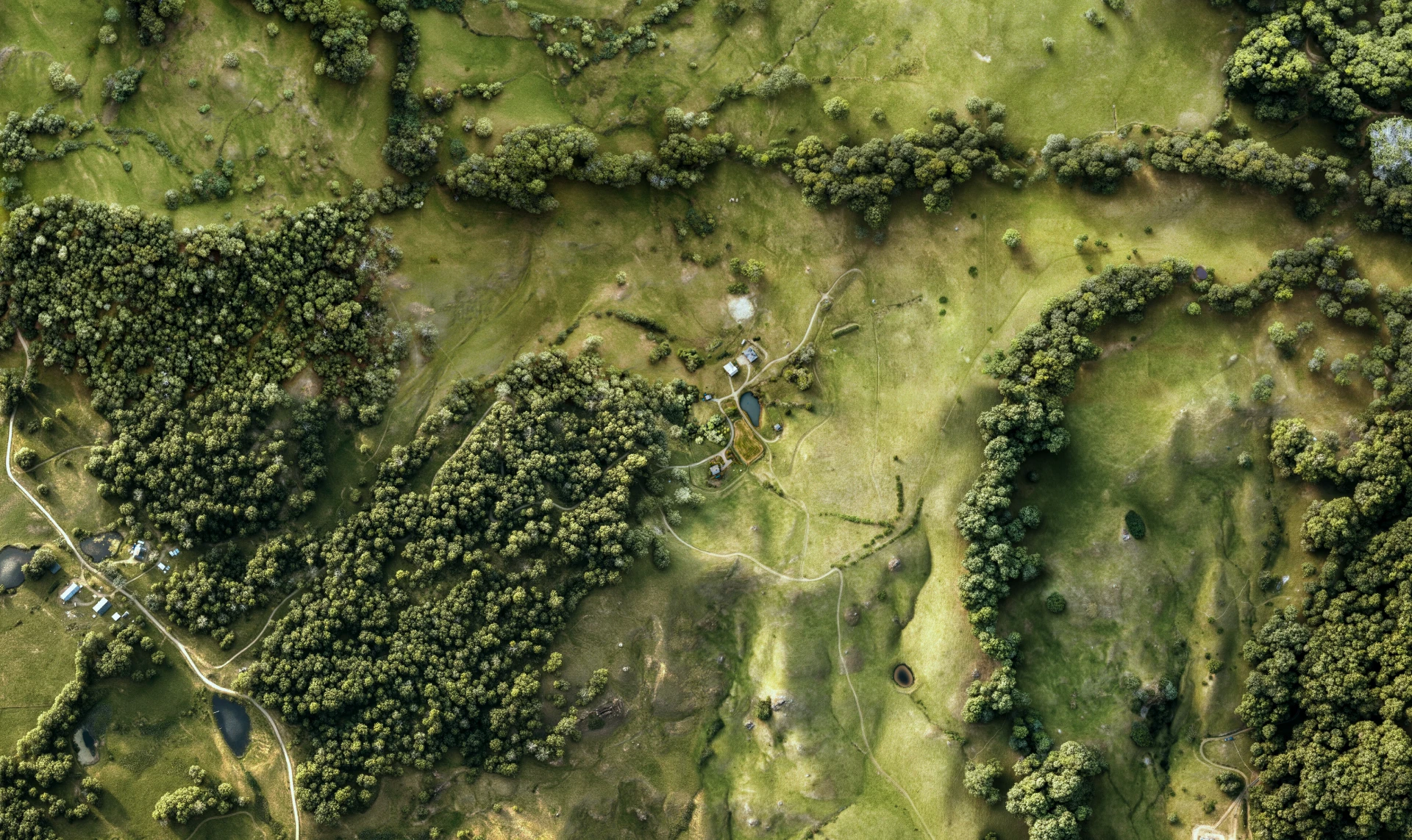
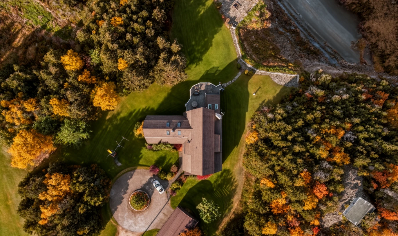
Advanced property orthophotos
A controlled top-down property visual built to clarify terrain, access, scale, and surrounding context.
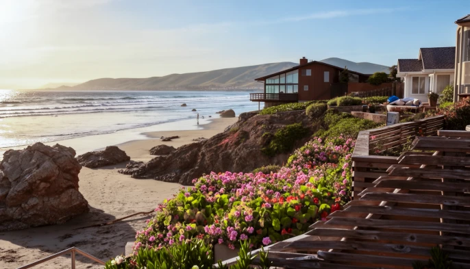
Listing image refinement
AI-assisted and manually directed refinement for property imagery that needs better clarity, balance, and presentation quality.
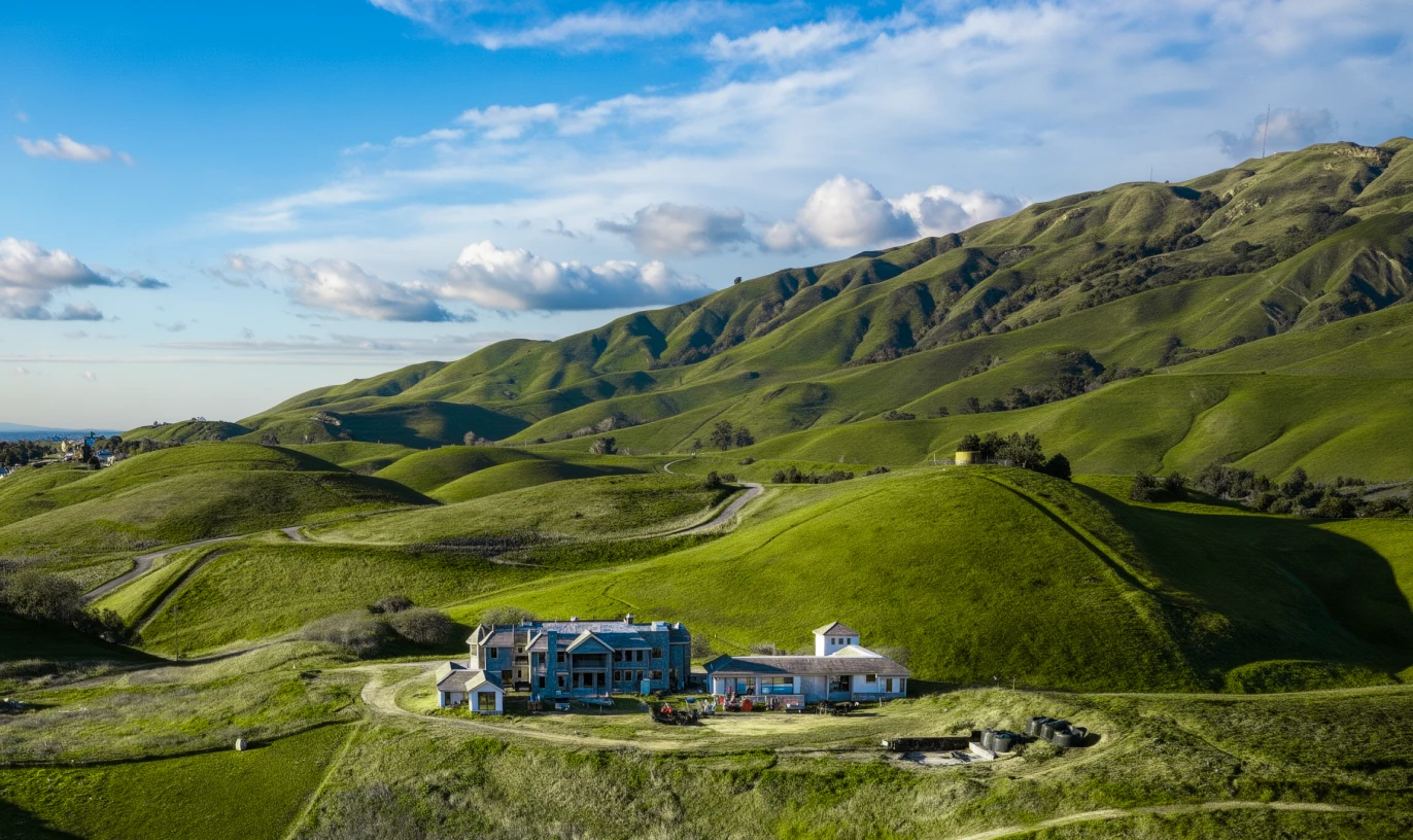
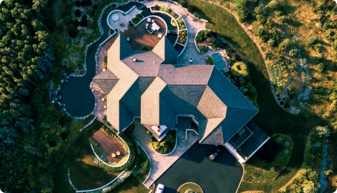
Drone-like property views
Terrain-aware property views designed to show the land from a more intuitive, presentation-ready perspective.
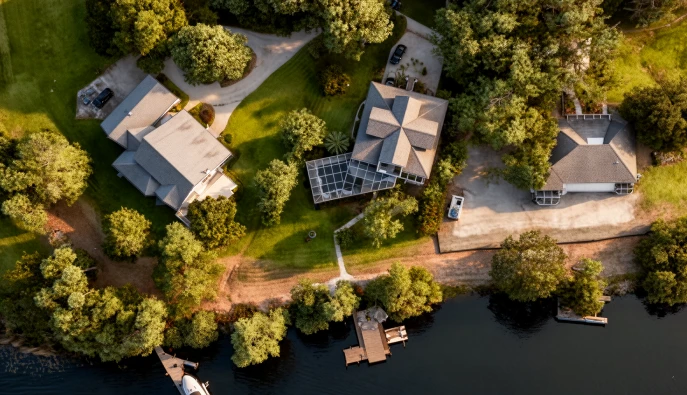
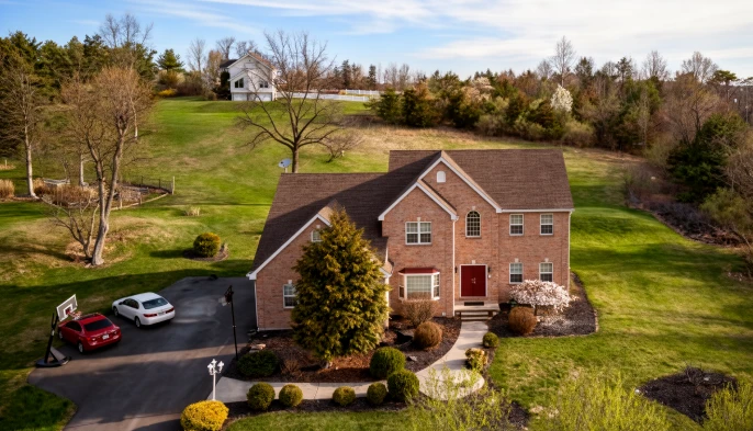
Custom property presentation
A tailored visual package for complex properties that require a more detailed, site-specific approach.
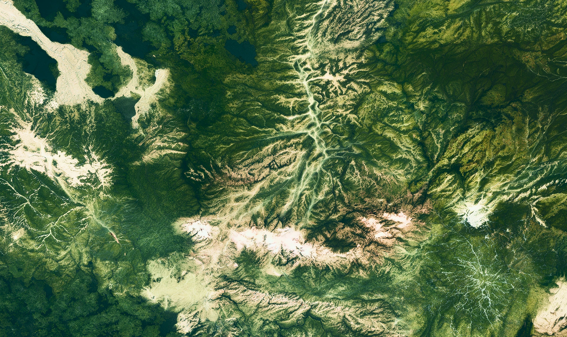
Property visualization for land that needs more than photography.
Better property imagery does not replace the site visit. It makes more buyers qualified enough to want one.