Not flight-bound
Created without depending on drone access, travel logistics, weather, camera quality, flight altitude, or the timing of a site shoot.

A controlled aerial-style view that gives the property a stronger sense of place, scale, atmosphere, and visual presence.
Created without depending on drone access, travel logistics, weather, camera quality, flight altitude, or the timing of a site shoot.
Built from available imagery, terrain references, parcel context, and visual direction to create a believable property-specific perspective.
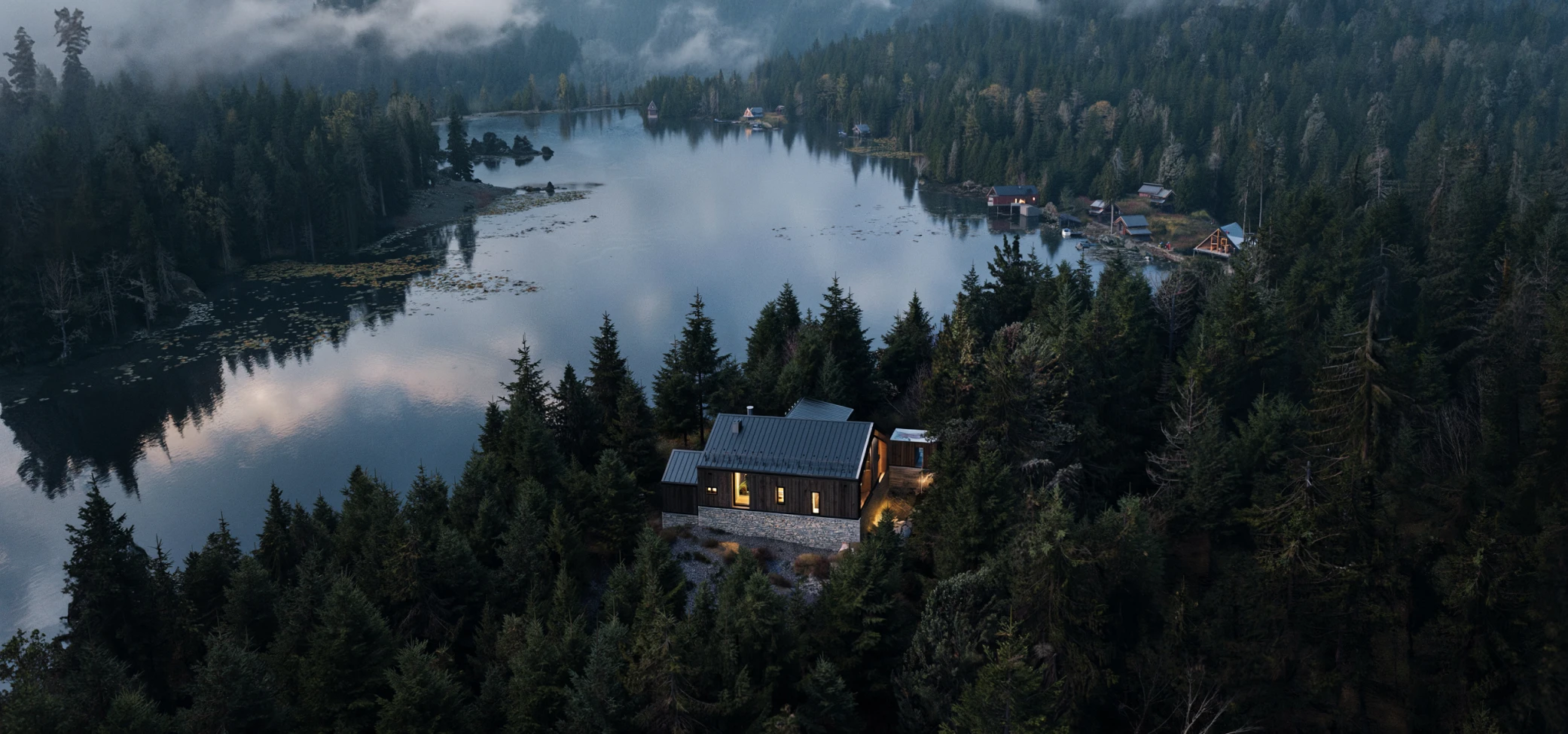
Made to give the listing a stronger visual opening when ordinary photos do not communicate the property's setting or character clearly enough.
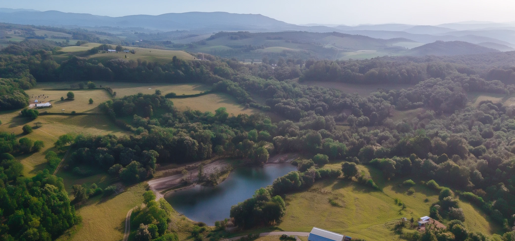
Create a controlled aerial-style image that helps buyers picture the land before a drone shoot, photographer visit, or site tour.